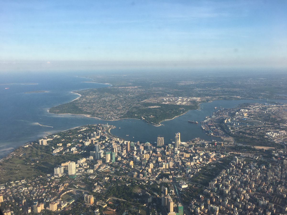
I first went to Dar es Salaam in 2011, there were a few skyscrapers adorning the city’s skyline, now they’re everywhere! Sitting on a rooftop bar in the center of the city, it’s a mass of cranes and pristine new buildings.
Alongside this rapid growth, Ramani Huria has been collecting a lot of data but a lot of it doesn’t get rendered by the default OSM styles… so I’ve dug into the data and created a map of the different floors across the city.
This interactive map allows you to explore where the tallest buildings are in the city, but in displaying the data in this way, also allows for the densest, unplanned and informal areas of the city to become very clear.
There is still some way to go though – in Dar es Salaam there are around 750,000 buildings, with roughly 220,000 (~30%) having been surveyed by the Ramani Huria team and given an appropriate attribute. Ramani Huria has focused its efforts in the urban centres of Dar es Salaam, where most of the multi-story buildings are to be found. But, still a lot more to be covered towards Bagomoyo and Morogoro.
Hat tip to Harry Wood who’s advice and guidance pointed me in the right direction – a more technical blog post and more details of other challenges around correctness of tagging but that’s for another post – now to look at Floor Spaces Indices…!
